Precision Photography and Detailed Data Gathering
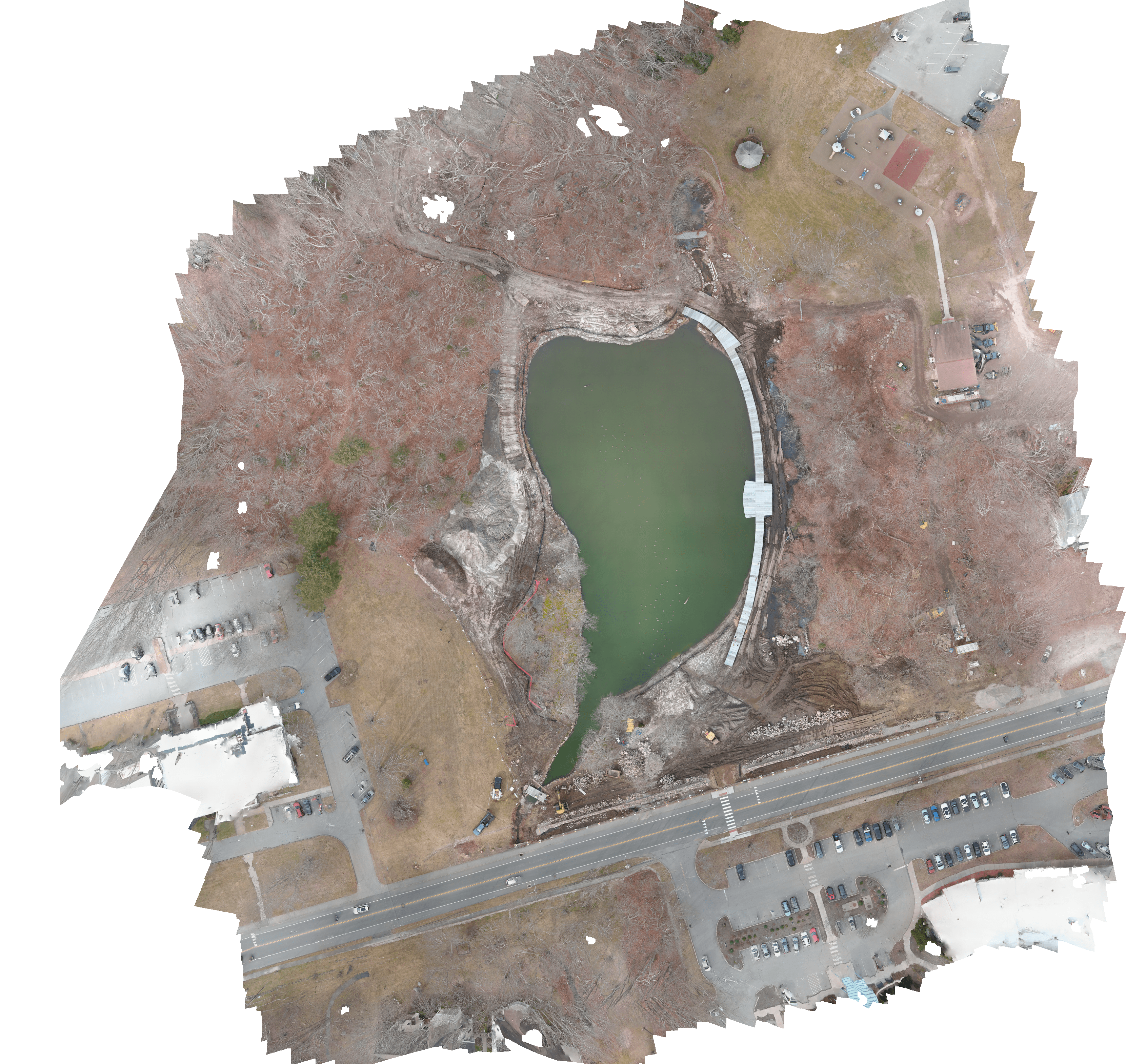
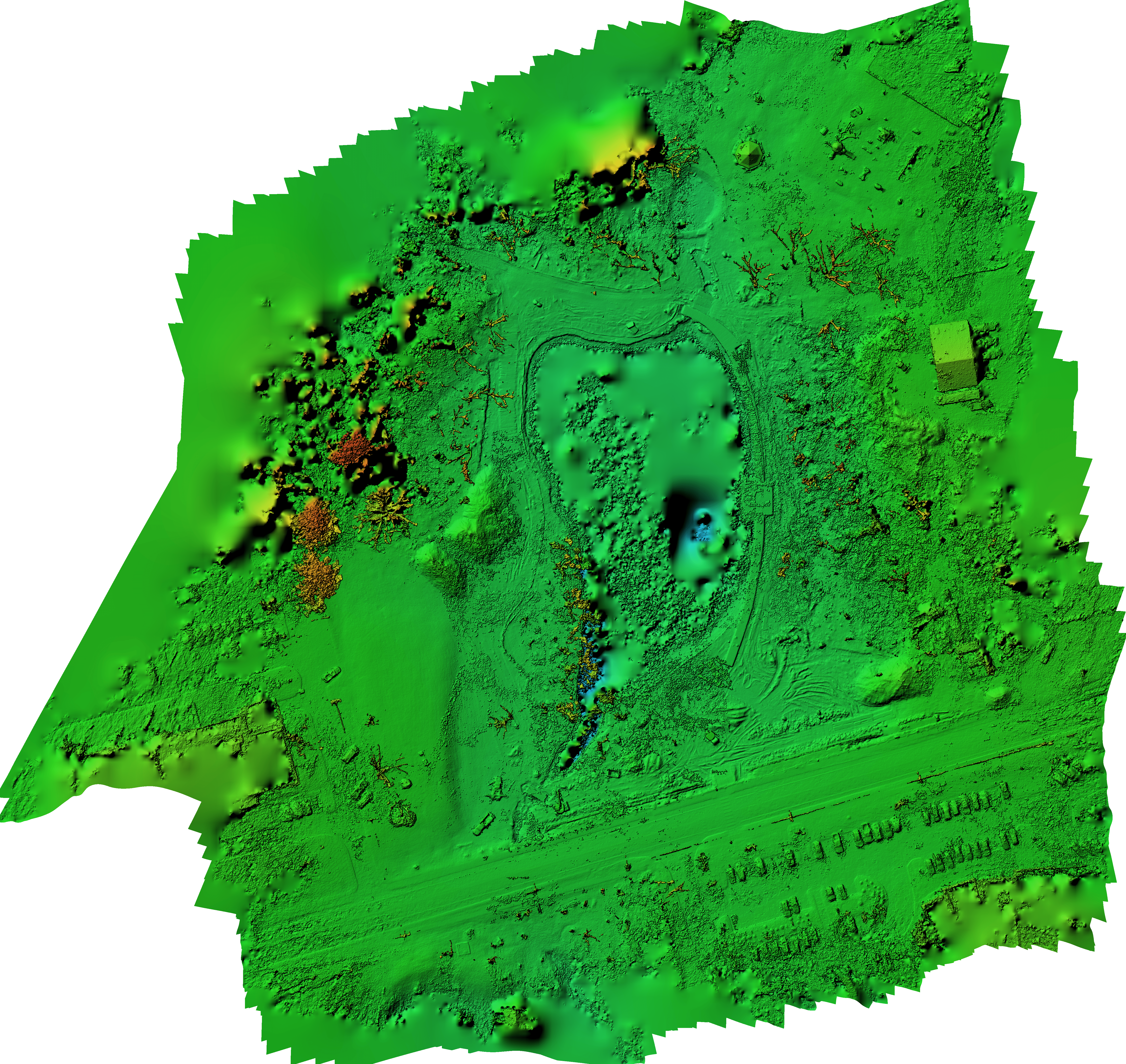
Aerial imaging offers a unique perspective that is beneficial to a wide array of industries. Capturing imagery from above not only enhances visibility and grabs attention for diverse applications, including marketing and site surveys, but it's also pivotal for specialized uses like thermal energy detection. Such imagery provides valuable insights, revolutionizing sectors such as agriculture. Why opt for conventional ground-level photos and videos when the expansive and impactful viewpoint of drone imaging is available?
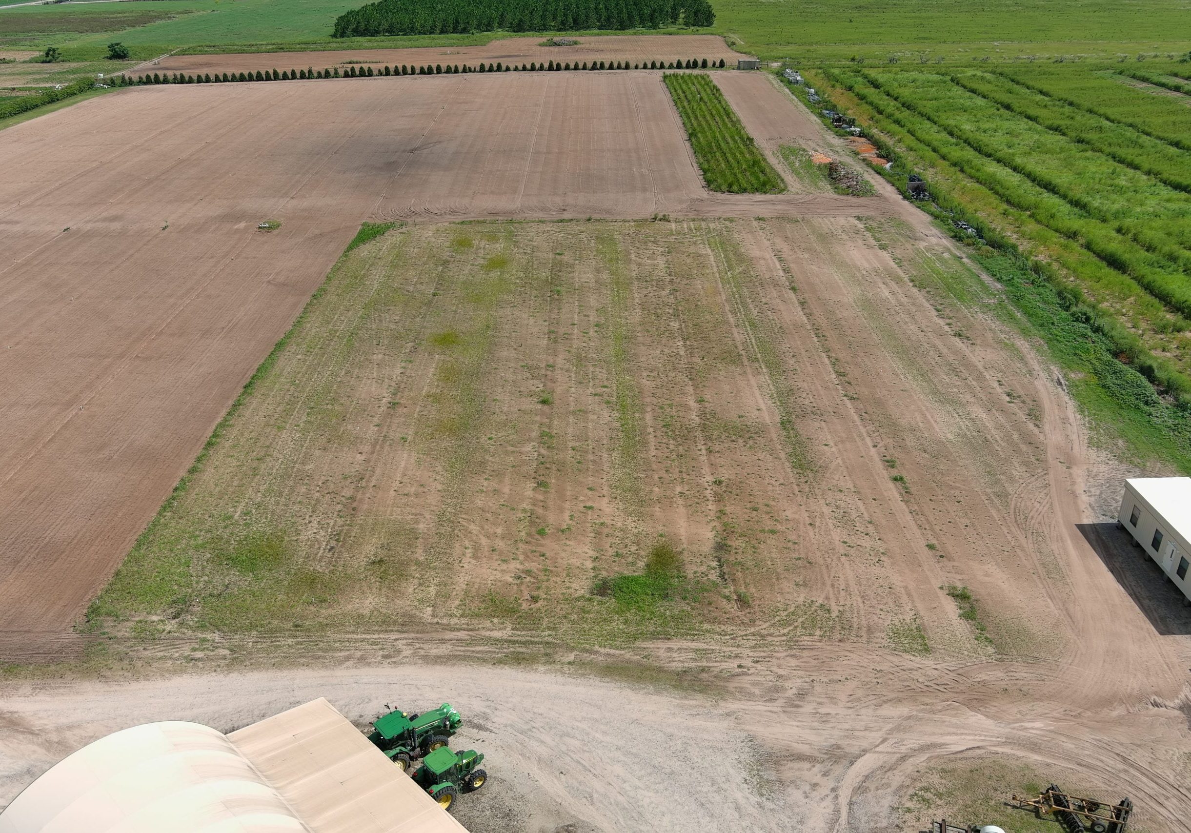
Drones Transform the Farming Industry
Drones are revolutionizing agriculture, offering farmers a high-tech helping hand. With their aerial perspective, drones provide invaluable insights into crop health, enabling early detection of diseases and pest infestations. They assist in efficient water and fertilizer application, ensuring resources are used precisely where needed. Innovative drones even take on seeding, simplifying the planting process. Regular flyovers allow for detailed crop monitoring, helping farmers make informed decisions for optimal harvest times. Drones also keep a watchful eye on livestock, enhancing farm management. In essence, drones are an indispensable tool in modern farming, boosting efficiency and crop yield while saving time and resources.
